
Summer and winter activities in Montréal and nearby
Choose city walks, parks, beaches, cycling, skating, skiing and snowshoeing according to season and conditions.
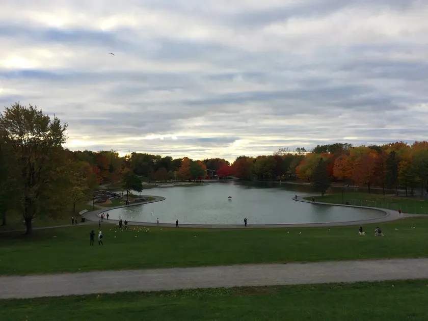
Choose the season as well as the place
| Season | Ideas | Check before leaving |
|---|---|---|
| Spring | City walks, birdwatching and first cycle rides | Muddy forest trails and temporary closures |
| Summer | Beaches, kayaking, SUP, cycling and berry picking | Lifeguards, heat, water quality and reservations |
| Autumn | Forest colours, apples, pumpkins and short mountain outings | Earlier darkness, cold and busy parking areas |
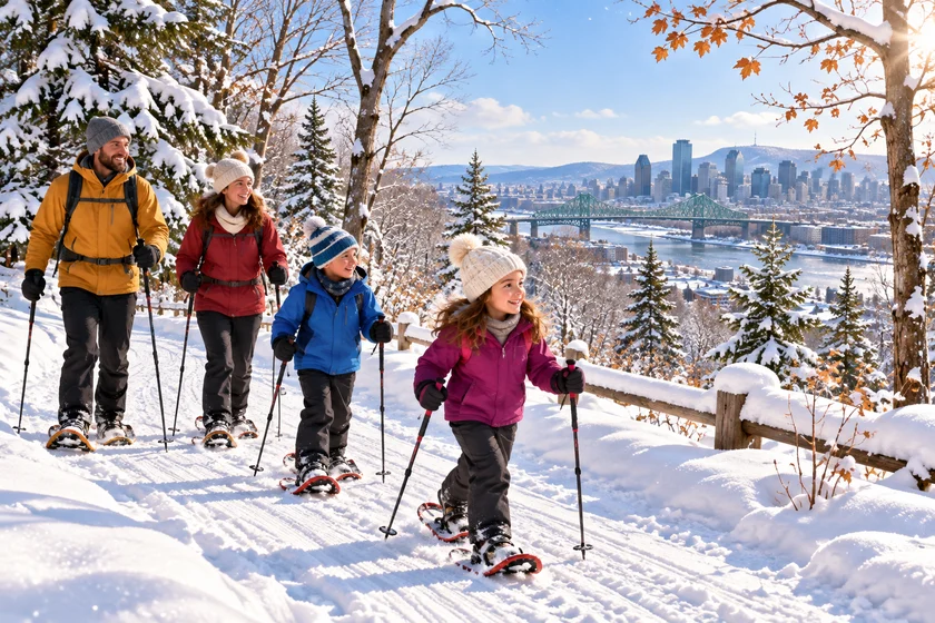
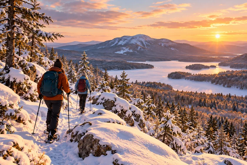
| Winter | Skating, skiing, snowshoeing and tubing | Trail or ice status, wind, clothing and equipment availability |
A beach can close before autumn ends and a winter trail opens according to snow rather than the calendar. Check the operator’s conditions on the day of travel.
Nine destinations in the source selection
| Place | Location reference | Approximate distance from Montréal | What to consider |
|---|---|---|---|
| Mont Royal | Mont Royal, Montréal | 5 km | A city starting point with paths and viewpoints. Stairs and forest trails change the effort. Walking is free; organised activities and rentals are separate. |
| Mont-Saint-Bruno | Saint-Bruno-de-Montarville | 35 km | Five lakes, forest and an old mill area for a nature outing without a long drive. |
| Îles-de-Boucherville | Boucherville, entrée île Sainte-Marguerite | 25 km | Mostly flat islands. The source lists winter walking loops of 7 km on Sainte-Marguerite and 5 km on de la Commune; check current access. |
| Yamaska | Roxton Pond | 100 km | Forest, the Choinière reservoir and birdwatching. Read trail closure notices. |
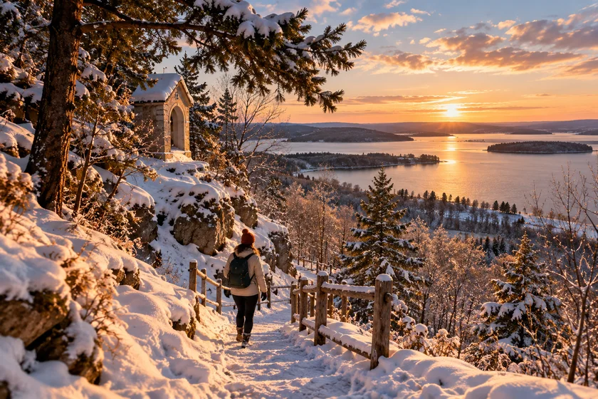
| Oka, Calvaire | Oka, départ Calvaire | 65 km | A climb towards historic chapels and views of Lac des Deux Montagnes. Other sectors can offer gentler trails. |
| Val-David-Val-Morin | Val-David / Val-Morin, secteurs Dufresne, Far Hills | 105 km | More than 60 km of trails with varying difficulty. Families can choose a short loop; mountain sections need more preparation. |
| Mont-Orford | Orford, selected trail sector | 135 km | A large network with easy to difficult routes. Étang Fer-de-Lance is a useful first option; longer mountain days need separate planning. |
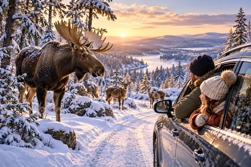
| Parc Omega | Montebello | 130 km | A winter driving route among northern climate animals. Bring warm clothing for stops and walking areas. |
| Tremblant | Mont-Tremblant | 145 km | Summer walks and mountain activities, winter downhill skiing. Lifts, lessons and rentals are separate products. |
Keep family costs manageable
Begin with a free walk and add one paid activity. For a national park, compare entrance, beach parking and equipment rental separately. An annual access pass does not mean every product is included. Some Sépaq parks offer certain children’s equipment free within a family visit, but the items and quantities are limited and depend on the park.
Bring food and water where picnics are permitted. Check the exact entrance, return journey and rental hours before leaving; a park name alone can lead to the wrong sector. The distances above are source planning estimates, rather than live route calculations.
Sources and planning links
The source guide recorded its checks in October 2026. Opening hours, prices, eligibility and availability can change. Use the relevant operator or public authority before acting.
English edition updated November 19, 2026. Dated event details and individual source checks are identified in the article; confirm current conditions with the linked organization.